Project title: Coral Cartography: Mapping Atlantic Cold-Water Corals to support Area Based Management
Project lead: Prof. Kerry Howell
Co-applicants: Dr. David Moffat, Dr. Ana Hilario, Dr. Sidi Mohamed M. Moctar, Dr. Elizabeth Voges, Prof. Kerry Sink, Dr. Lara Atkinson, Dr. Jose Angel Alvarez Perez, Prof. Alex Cardoso Bastos, Dr. Rebecca Ross, Dr. Piechaud Nils, Dr. Tina Kutti, Prof. Jaime Davies, Prof. Tim W Nattkemper, Prof. Alvar Carranza
Countries involved: UK, Portugal, Mauritania, Namibia, South Africa, Brazil, Norway, Gibraltar, Germany, Uruguay
Takes place: Atlantic Ocean
Supporting institutions: Plymouth Marine Laboratory, University of Plymouth, University of Aveiro, Mauritanian Institute of Oceanographic Research and Fisheries (IMROP), South East Atlantic Fisheries Organisation, Nelson Mandela University, South African Environmental Observation Network, University of Vale do Itajaí (UNIVALI), Universidade Federal do Espirito Santo, Institute of Marine Research (IMR), University of Gibraltar, Bielefeld University, Universidad de la República
Total budget: USD $1,454,098
Duration: 30 months
Project overview
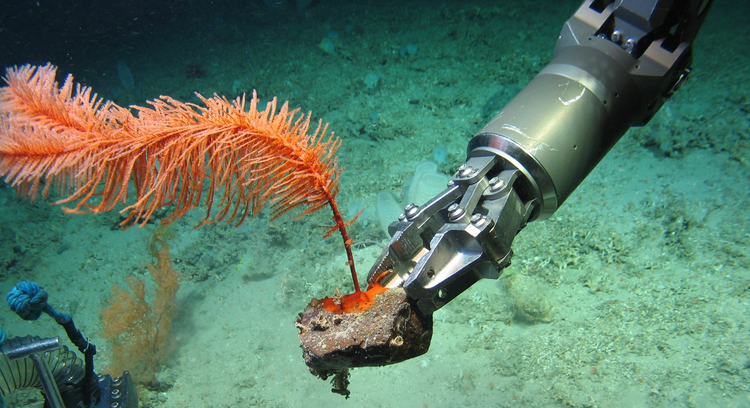
Cold water corals (CWC) are a critical part of deep-sea ecosystems, but they are exposed to increasing pressure from human activities, including fishing, deep-sea mining, and anthropogenic climate change. Understanding CWC ecosystems is key to put in place measures that contribute to their protection and conservation. While the North Atlantic has relatively rich datasets of CWC presence and distribution, that is not the case for Central and South Atlantic regions. Despite large repositories of imagery data from CWC habitats in the Central and South Atlantic have been collected in some sites, the data analysis still awaits. This project will trial novel artificial intelligence approaches to speed up and standardize image analysis to unlock the insights hidden in these unused datasets. Besides, the research team also envisions producing high-quality CWC observation data and Atlantic-scale CWC density maps.
Specific objectives
- Develop a quality-controlled and standardized CWC image dataset.
- Train deep-learning AI models to identify, classify and count CWC.
- Develop the most advanced maps of the distribution, density, and diversity of CWC in the Atlantic Ocean.
How the objectives will be met
• CWC Image Dataset
- Compile both existing and novel image data from all consortium members.
- Undertake biological data analysis of a smaller sample of images.
- Agree on data standards (e.g., vocabulary for image annotation).
- Perform quality control and validation of the standardized method.
• AI Model Development
- Train the AI model based on the data gathered in the previous stage.
- Deploy the AI model to annotate the remaining images in the dataset, not analyzed in phase 1.
- Perform human quality control and full annotation.
- Deliver an Atlantic-scale standardized biological dataset.
• Habitat Suitability Modelling
- Producing low-resolution models for CWC taxa: source and format global environmental data layers from online repositories (e.g., temperature, salinity, currents, nutrients, carbon) to perform future climate predictions.
- Producing high-resolution models for CWC taxa: obtain cleaned high-resolution multibeam bathymetry data from relevant repositories.
- Produce models with density values (number of individuals/area unit) for each CWC taxon per environmental data layer, based on all the datasets compiled and created.
Impact of the project
This project has high potential to promote CWC conservation by placing knowledge directly in the hands of those who make or influence decisions regarding their conservation. Specifically, the team expects that the data produced by this project will inform:
- The designation of high seas marine protected areas (MPAs) under the Conservation and Sustainable Use of Marine Biological Diversity of Areas beyond National Jurisdiction (Biodiversity Beyond National Jurisdiction Agreement).
- The ban of bottom trawling in areas shown to be likely to contain Vulnerable Marine Ecosystems (VMEs).
- The designation of Areas of Particular Scientific Interest by the International Seabed Authority.
The team also plans to:
- Publish five peer-reviewed publications
- Produce three policy briefs
- Train five early-career researchers in CWC image analysis.
Major highlights
- It is estimated that 24,643 h of video footage have been collected by institutions throughout the Atlantic Ocean, including in the South and Central Atlantic, but 50% has never been analyzed.
- The developed AI model will support but not replace human annotation.
- The Atlantic CWC AI model will be made openly accessible via GitHub and / or FathomNet.
Cover photo: Marine Institute, Ireland and University of Plymouth, UK

